
Westwater 200
May 9th, 2026 - 7AM Start
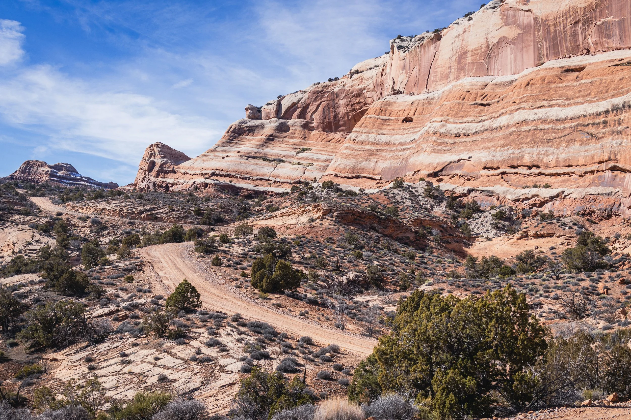
Welcome to 200-miles of wild country outside Fruita, Colorado. This route threads together remote dirt roads, doubletrack, and rugged singletrack creating a demanding loop out west.
Expect long climbs, technical descents, and widely varied terrain. The landscape is big, dry, exposed—and relentlessly beautiful.
This is a test of fitness, navigation, judgment, and grit. Mechanical know-how matters. Navigation matters. Your ability to keep moving when everything hurts matters. No one is around to bail you out.
REGISTER HERE!
74 Rider Maximum
A full route breakdown can be found below. All updates can be found on our blog HERE
Westwater 200
Route info & Breakdown
1 - Fruita to Whitewater:
Leave Downton Fruita and head south on the bike path until turning right into the Orchard Mesa neighborhood at mile 16. After weaving through that neighborhood you’ll cross highway 50 into Burkey Park. This will put you on the old Spanish trail for about 5mi. At that point you’ll be in Whitewater where you’ll make your way to the Tabeguache trail.
2 - Whitewater to Gateway:
Starting in Westwater you’ll climb on the Tabeguache trail for about 7mi. At that point you’ll dump off onto Highway 141 where you’ll ride pavement for less than half a mile before turning back onto dirt and heading towards the Cactus Park trailhead. You’ll find a lovely long drop should the need arise. After that you’ll make your way towards BLM Route 015. This is definitely not single track, but not really double track either. It’s for quads, bikes, hikers, and dirt bikes. There should be zero SXS or Jeep traffic as it’s too narrow. It’ll be a mix of dirt, rock, and sand. You’ll be on this for about 4mi before joining back up with the road. You’ll be on dirt backroads winding your way through a beautiful valley until hopping on Little Creek trail. This is a 1k ft single track climb that will eventually dump you out onto Rim Trail. You’ll make a left on Rim Trail and make your way to Q14 Road. After making a right on Q14 you’ll make another right shortly after onto Ute Creek trail. You’ll ride Ute Creek Trail all the way down to 6 3/10 road where you’ll eventually dump out onto a sandy wash road. This road will take you all the way to 141 where you’ll ride pavement for a few miles to the only resupply on route. The Gateway general store.
3 - Gateway to Dewey:
Once you’ve resupplied at the Gateway store you’ll leave town on CR42 leading you towards Sheep Creek Trail. This is a 3000ft jeep road climb that lasts just over 6mi. After reaching the top of this climb you’ll start to head W/NW towards Dewey Bridge. After traversing a bunch of dirt road miles you’ll eventually come to the Dolores River at which point you’ll have to cross. Depending on water flows we’ll pick one of two locations to cross. If flows are just too high for a safe portage, we’ll reroute a completely different route from Gateway, but hopefully it doesn’t come to this. Once you’ve crossed the Dolores it’s just a handful of miles to Dewey Bridge.
4 - Dewey to Fruita:
After leaving Dewey Bridge you’ll hop on the Kokopelli trail and ride this all the way to Rabbit Valley before hoping onto the Western Rim trail. If you ride this during the day you’re in for some spectacular views. If you ride this at night, be careful. There’s definitely some exposure on this trail. Think of a baby white rim. After riding the Western Rim you’ll hop back on Kokopelli. This is a mix of double track desert miles and eventually some single track in the Kokopelli trail network area. When you pop out of the Kokopelli trail network you’re basically home free. Some easy path miles back to town and you’re DONE. Hopefully Hot Tomato is open when you arrive back in Fruita.